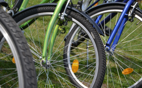
On the geometric lattice of the roads of Turin we are designing different routes, itineraries on board of trams, routes on foot, by car. After that there are also the most creative routes, the real trips: those made by bike. The lovers of the category will understand these feelings: speed, breeze on the skin, quick reflexes, legs that go up and down, changes of direction and jolts. Sometimes Turin is not welcoming for cyclists, in fact it is often hostile, smoky and cold. But bikes overcome all the imposed barriers and they make their way through everything, they run from one place of our city to another, crossing always the tram rails.
Torino in Bici
Torino in Bici is the portal of the Comune di Torino dedicated to the promotion of soft mobility. With lots of advice and suggestions it wants to show a different topography of Turin, the one traced by the wheels of bikes. The section Muoversi in Bici informs about all the useful tools and possibilities for the urban cyclist, and it shows how to overcome the street challenges of the city and of the suburbs.
BUNET
Bunet (Bike Urban NEtwork Torino) is maybe the most useful and original, even in the name, of the presented tools. It is a tool designed to calculate and to share your own routes made by bike. From the starting point to the arrival point you can choose between a more peaceful and comfortable route or a more direct and fast one. The characteristics of the route can be seen through a graphic that specifies the percentages of speed, linearity and safety. Bunet uses, as digital map, OpenStreetMap (OSM), a project intended to create world maps with free contents, updated everyday by free and independent users. The map used for the service could, therefore, not be fully complete or updated, but it’s steadily improving.
Cycle tourism
The section Visitare Torino in bicicletta is, instead, dedicated to the presentation of bike routes in the urban territory and in suburbs, with the possibility to have access to a guide of bike routes, divided for every territory. The route offers the possibility to have a detailed knowledge of the territory and its green areas, with a succession of details and unexpected shortcuts. For every route there is a linked descriptive card and a gpx file that can be used on GPS navigation devices and smart phones.
Here is the list of the routes:
- Chieri and sourrounding
- North of Turin
- West of Turin
- Lake of Candia and Monti Pelati
- Rocca of Cavour
- Monte San Giorgio
- Streets of colors and tastes
Corona delle Delizie
The route Corona delle Delizie delineates a lane of 112 km dedicated to bikes. This is a mix of bike lanes, bike routes and rural streets that connects Royal Residences to metropolitan parks, crossing the most beautiful fluvial, rural and historical places of the different districts. Thanks to the Corona in Bici App, that can be downloaded from the Play Store or App Store, you can discover the beauty of the territory riding a bike, equipped only with your phone. The App takes advantage of the geolocation giving the opportunity to orient oneself into the route, calculating the distance between the starting point and the arrival point. The sharing and the interaction through social media is also possible.